 |
Lake George from Cat Mountain
(All images mine) |
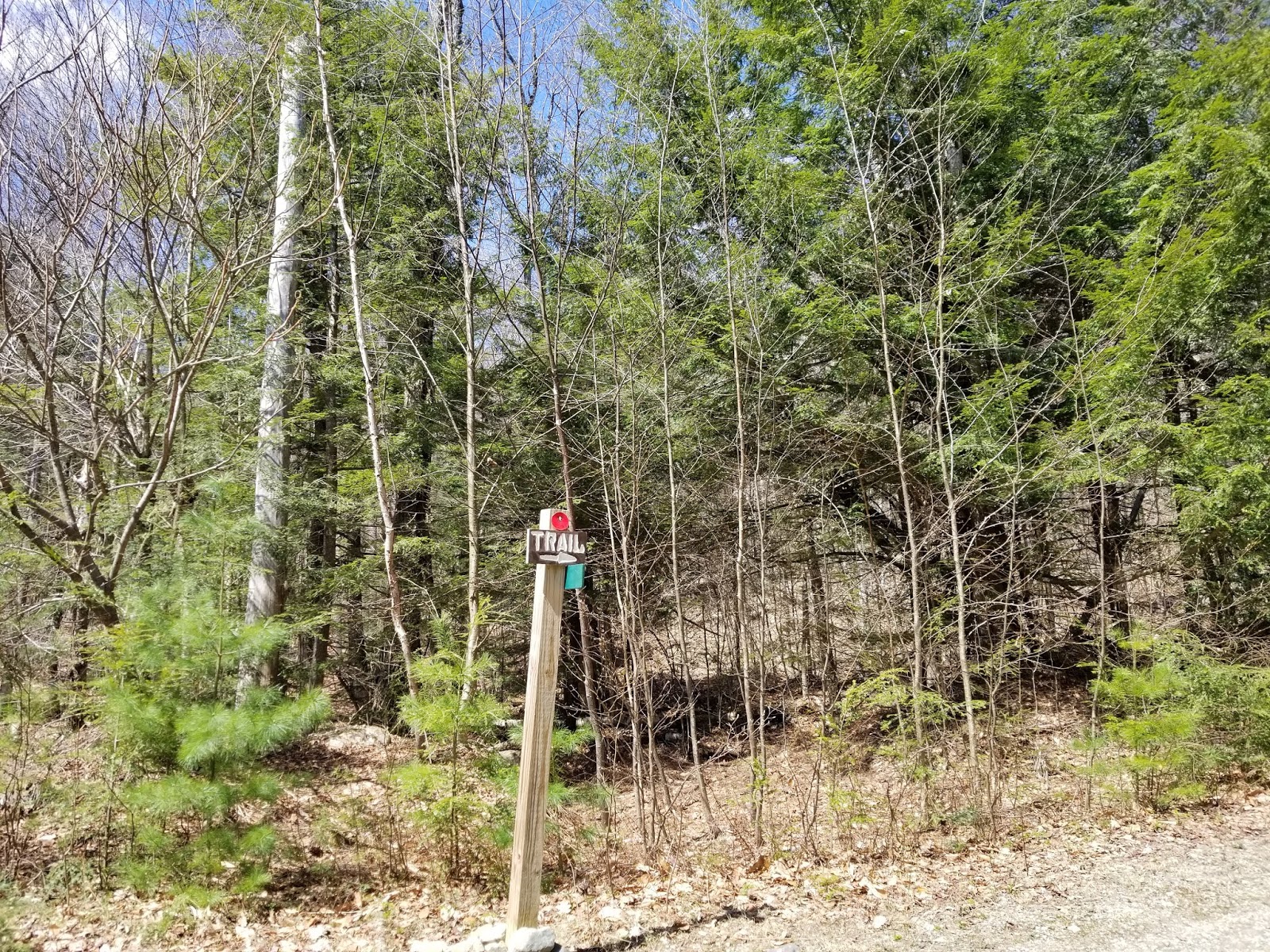
Cat Mountain is the less popular of the two mountains that make up what was once the Cat and Thomas Mountains Preserve, now a portion of the Lake George Wild Forest. Even though the mountain is now DEC land, the Lake George Land Conservancy (LGLC) continues to maintain trails on the mountain and their marking practices are slightly different than those of the Adirondack Mountain Club, who maintains most trails in the park. Most people who visit Cat Mountain do it as a loop from the easier Thomas Mountain via the main trailhead and parking lot near I-87 Exit 24, but Cat can be hiked alone from a secondary trailhead next to Edgecomb Pond. There isn't much parking here and it's all on the shoulder. No trail register is present here, either. Only indication of a trail is a small sign on a utility pole that is only visible if you're facing north on Edgecomb Pond Road.
 |
| From the road. Sign on the right indicates that this is the Bolton water supply. |
 |
| Closeup of the sign |
My purpose for this hike was to climb Cat Mountain, an ascent of roughly 1,000 feet from Edgecomb Pond Road and a 4.5 mile loop, checking off another peak on the 12ster list in the process. In all, this hike took me 2.5-3 hours, including time spent at the summit. I rated this as 3/5 difficulty solely because of the descent down the red trail from Cat Mountain. An out and back from Edgecomb Pond via the blue trail and north fork of the red trail would be a moderately easy 2/5 hike, but 0.5 miles longer. My plan for the day was to hike to Cat Mountain via the red and blue trails, returning down via the red trail to make a loop.
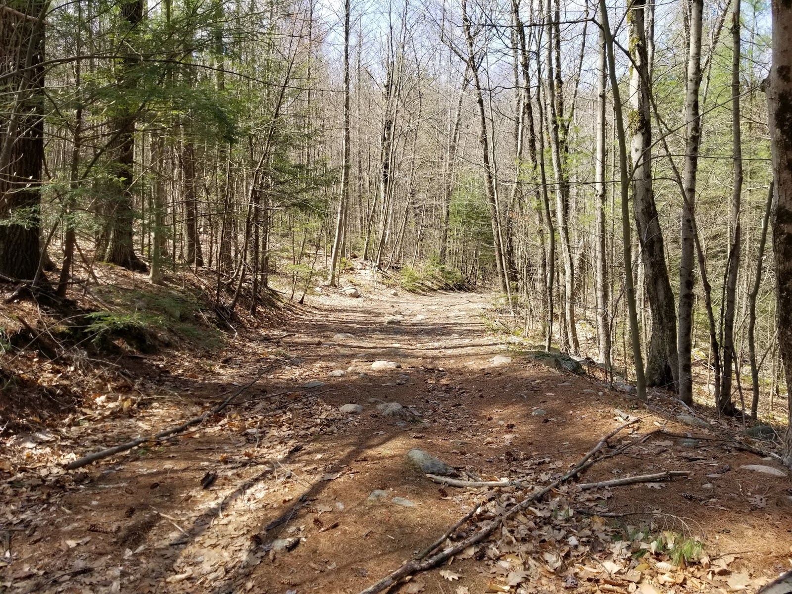
I started up the trail late on a Saturday morning in early May. The first mile of the trail is an old woods road and there is little elevation change in the first half mile. Starting at the trailhead, there were many branches and a few fallen trees across the trail, likely from a large storm the previous night.
 |
| Looking back toward trailhead at fallen trees |
 |
| Lots of fresh branches and trees across the trail |
The old road, blazed in
red, curves around Edgecomb Pond. The trails up here have a combination of NYSDEC markers, LGLC markers, and paint blazes (mainly the south fork of the red trail).
 |
| Curve around south end of Edgecomb Pond |
There were a few muddy spots, but these were easily avoidable.
Somewhere in this area, roughly half a mile from the trailhead, the narrow and steep fork of the red trail leading directly to Cat Mountain forks off to the left. I did not see it while walking along the road, though I had always intended the steep trail to be my return path. Eventually, the pond is left behind and the old road enters the woods as it begins to climb.
 |
| Entering the woods |
There is a large creek that must be forded up here. If you come in the spring after a large storm like I did, there's a decent chance you'll get your feet wet. Even the stepping stones had a couple inches of water above them.
 |
| Large stream across the trail. No way for me to avoid getting wet here. |
Past the creek, the trail begins to climb steadily. There's a gate up ahead to block vehicle access along with new signs, but I don't know how a vehicle that isn't an ATV could get up here.
 |
| The gate |
 |
| Blazes near the gate |
Just past the gate, the trail takes a hard turn to the left and continues to climb.
Not too far past this point, we reach the junction with the blue trail, a little under a mile from the Edgecomb Pond trailhead. At this junction, straight leads to the main trailhead at County Route 11. Sharp left leads to Cat Mountain.
 |
| Looking toward main trailhead from end of red trail |
 |
| That's where you want to head |
A trail map is nailed to a tree at this junction.
 |
| Trail map |
The next half-mile or so of trail gently ascends with some elevation loss. Still generally an old woods road, this is easy hiking with little shade.
The trail crosses a couple of creeks on its climb up the mountain
Some trees had fallen across this portion of the trail, too.
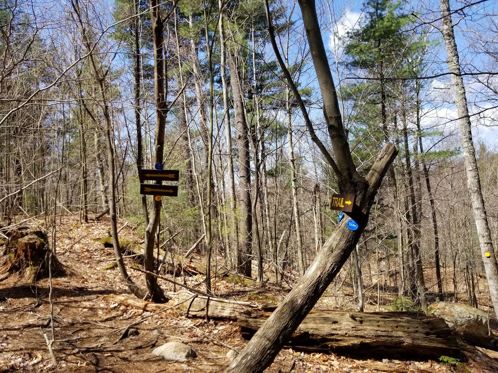
Roughly 1.75 miles from the trailhead, we leave the road behind as the trail turns into the woods and becomes a footpath.
 |
| Trail turns here |
The remaining 3/4 mile or so to the summit is a typical Adirondack trail through the woods, ascending pretty steadily. Much of the ascent is in this last 3/4 mile.
The trail crosses the old road a couple of times, which has been brushed off. Signs and blazes direct hikers to the current trail.
A short distance below the summit, we meet up with the yellow trail from Thomas Mountain. Left here keeps you on the blue trail and on your way to Cat Mountain. Right leads to Thomas Mountain
 |
| Junction with the yellow trail to Thomas Mountain |
Above the yellow trail, we start seeing several rock outcrops and there are many roots crossing the trail.
Up here, we reach the upper end of the old woods road, with the trail making a right to keep climbing. The sign below awaits people heading downhill here.
 |
| Think it's a permanent closure, though... |
It's not far from this point to the summit. Just a little bit more climbing.
 |
| Almost there... |
Eventually, there is no more mountain to climb and we're at the summit of Cat Mountain, which provides a panoramic view of Lake George and the southeastern Adirondacks. At this point, I had hiked 2.5 miles per my GPS.
 |
| Lake George from the summit |
 |
| Looking toward the mountains along the eastern shore |
 |
| Looking west |
While I could not find a benchmark at the summit (likely hidden in the brush near the highest point), there was a reference mark above the overlook.
 |
| Quite a bit of damage from lightning strikes and hikers. |
Several nice vistas can be seen up here and there is quite a bit of exposed rock to rest on and enjoy the view.
Ready to go, I started making my way across the summit to the red trail leading directly to Edgecomb Pond, listed as "very steep" on the LGLC map.
 |
| From near the red trail |
Once I found the trail, it was time to head down.
 |
| One parting shot of Lake George |
The descent is steep and it begins immediately.
There are several places where the trail levels off, only to drop steeply again.
The main markings on this trail are red paint blazes, common in other states but quite unusual in New York.
 |
| Typical blaze |
 |
| Still some views across the lake at the upper part of the descent |
The upper part of the red trail has some grassy areas with views of the lake.
I wouldn't say that this trail has any real scrambles, but some places come close.
 |
| I'll call this a "pseudo-scramble" |
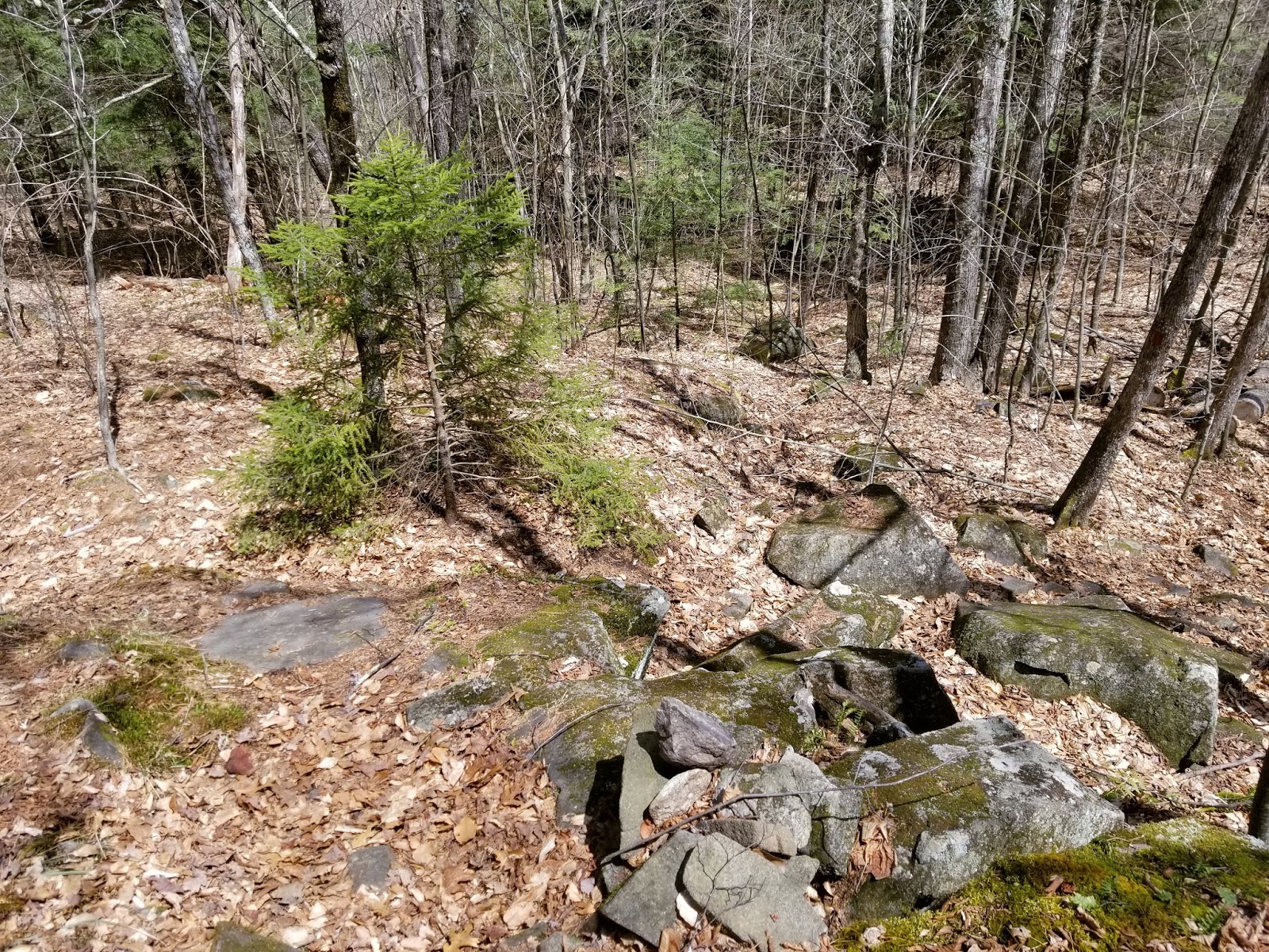
Quite a few places on this trail don't even look like a trail.
 |
| This is the trail? |
After descending from the mountain, there's at least a mile more of ups and downs before the trailhead. Make sure you follow the blazes - really easy to get lost in here and the trail is hard to follow.
Some more stream crossings located in ravines the trail passes through
The remainder of the trail back to the junction with the old road (and other fork) is a lot of the same. Up, down, some small streams and mud.
 |
| You can barely see a trail marker across this stream bed |
Much of this trail is little more than a marked herd path
 |
| Don't miss the turns! |
 |
| That is the trail. Again, herd path. |
 |
| Approaching the old road |
Eventually, we're back at the old road. Turn here to get back to the trailhead.
 |
| Looking down the south fork from the old road. Hard to tell this is even a trail. |
 |
| Looking along the north fork toward the blue trail at where the trail splits |
After roughly half a mile on the old road, we're back at the trailhead.
 |
| Trailhead from the trail |
Cat Mountain may be one of the less-popular mountains in the area, but the hike is relatively short and the views are excellent. Depending on how hard you want your hike to be, it can be easy or moderately difficult.
Getting Here
The Edgecomb Pond trailhead is located on Edgecomb Pond Road between Potter Hill and Finkle Roads. Parking is available along the shoulder. The trailhead is not easy to spot from the road if you aren't looking for it and easiest to find from the south. The trailhead is roughly 1.3 miles north of the parking lot for the Pinnacle Trail.
Resources


