|
| View from Snowy Mountain fire tower |
Poor Snowy Mountain. It is a mere 102 feet short of 4,000 feet (and taller than 2 "high peaks"), but like MacNaughton Mountain and Green Mountain, it does not have the honor of being an Adirondack High Peak, even though this thing is harder to climb than a few of the 46ers and Catskill 3500s. However, it
is the highest point in New York outside of the Adirondack High Peaks region and the 5 tallest Catskill peaks, the highest point in Hamilton County, and the second-highest fire tower in the state (behind Hunter Mountain in Greene County).
This is a HARD hike. This is the hardest fire tower I have been to and it might be the hardest to reach in the state. You climb 1,300 feet in the last ~1.3 miles up and 800 feet in the last half-mile. Driving in from the north along NY 30, you can see the tower and the mountain. Yes, you're climbing
that. It it as steep as it looks from the road.
 |
| Snowy Mountain from the north |
Even though this thing is an absolute PITA made even harder by record heat/humidity and the previous day's rain, it is an amazing hike, a great challenge, and you'd be hard-pressed to find better views in the southern and central Adirondacks. Round-trip distance is 7.8 miles and the total ascent is about 2,100 feet.
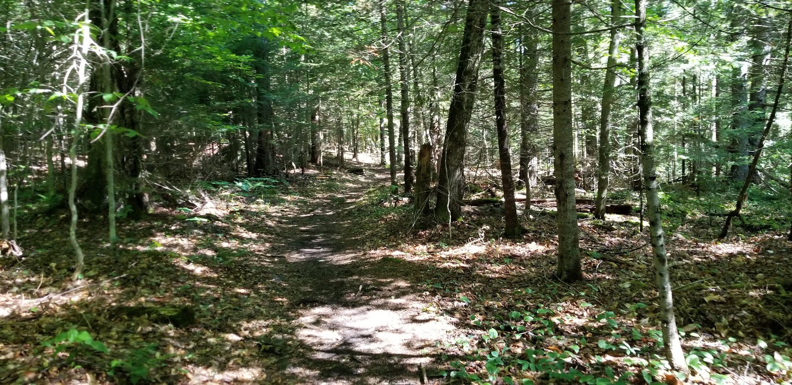
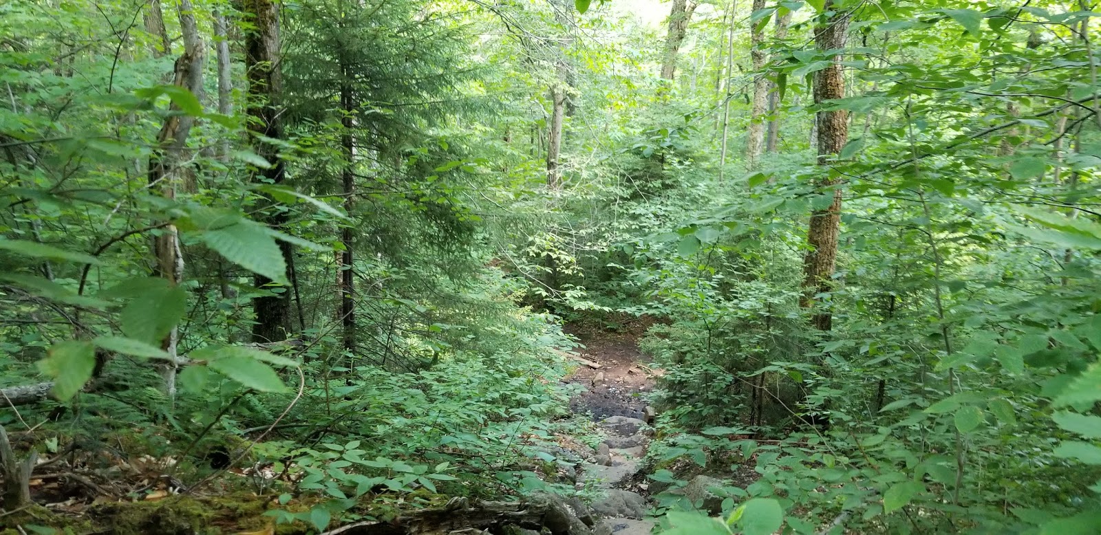
I started up the trail around 9:30 on a Friday morning in late June. After crossing the road from the parking area, the trail dived into the forest and I was on my way. The first 3.2 miles is relatively flat, with the occasional undulation. This portion of the trail generally follows Beaver Brook, crossing it a couple of times. It's a very pleasant bit of hiking. I'll let pictures do the talking.
 |
| A common scene for the first 2/3 of the trail |
 |
| A few sections of boardwalk cross wet areas |
 |
| One of the stream crossings |
 |
| A small staircase |
Stone staircases on this section ease the climb.
Roughly 2/3 of the way to the summit, the trail switches from a gentle walk through the woods to a steep climb.
You know you're near the summit when the trail becomes a near-vertical climb across large rocks.
 |
| Yes, you have to climb THAT |
I will admit, I don't have a ton of pictures of the steep climb because I was trying to avoid falling to my death. There are a few places where a bushwhack off of the "trail" (if you can call it that) is almost mandatory in order to continue climbing, because the marked trail is a steep muddy slide.
 |
| Looking back down |
 |
| Gulp |
 |
| We're getting pretty high |
Maybe 1/10 mile before the summit is a clearing that held the former observer's cabin, providing a view to the northeast. Turn left here and it's an easy walk to the summit fire tower.
 |
| Finally, we're here |
 |
| Nail marks the "summit" |
No view at the summit, so you have to climb for views.
Be careful when climbing, as a section of the stairs is missing the safety wire present on most of New York's fire towers.
 |
| Missing chicken wire on the staircase |
Snowy Mountain is quite a bit taller than anything else in the area. In fact, the closest thing higher than you when you're at the tower cab is
Santanoni Peak, nearly 30 miles to the north.
 |
| View north toward the High Peaks |
 |
| View of Indian Lake |
 |
| View south |
If you look closely to the south, you can see the campground at the south end of Indian Lake
It was quite sunny and there wasn't a place to sit down in the cab, so back down to the clearing I went.
The clearing provides a flat place to sit and eat, if buggy and lacking in shade.
 |
| View of Indian Lake from the clearing |
 |
| View of clearing from the trail |
What goes up must go down, and here on Snowy Mountain, going down is as hard is going up.
 |
| This is looking straight out. The trail goes below that branch (which is well above the trail). Yeah, it's that steep. |
After a mile that feels like a lightyear, we're back on flatter ground and the 3 mile talk through the woods back to the car can begin.
 |
| Butterfly found on the lower part of the trail |
Snowy Mountain is an immensely-difficult hike that should not be attempted by anyone without some degree of physical fitness. But once you're at the summit, the reward is amazing. And, you get the benefit of knowing you've conquered what is probably the hardest fire tower summit in the state.
Getting Here
Snowy Mountain is located along NY Route 30 in central Hamilton County, where it is the highest point. 7 miles south of Indian Lake hamlet and 17 miles north of Speculator. There isn't a lot nearby other than campsites and small towns, so expect to be doing some driving to get here unless you camp.
References
The Adirondack Mountain Club's Central Trails, 4th Edition (Michael N. Kelsey, ed.)
National Geographic's Trails Illustrated Map #744 (Northville / Raquette Lake)