 |
| View of the Green Mountains from the summit of Mount Monadnock (All images mine) |
Of all the mountains in the United States, none (supposedly) are climbed more than Mount Monadnock. Rankings generally place the mountain, also known as "Grand Monadnock", as the third most climbed in the world, behind only Tai Shan (China) and Mount Fuji (Japan). While it's busy with approximately 125,000 climbers each year, this is DEFINITELY a climb you should make, preferably at an off-peak time so you can take the scrambles at your own pace and find parking. Monadnock is, like its name suggests, a monadnock, standing 1,000 feet above any mountain peak within 30 miles and 2,000 feet above the surrounding land. The treeless summit has unobstructed views in all directions and you can supposedly see the Boston skyline on a very clear day (though I could not). This hike is 2.5-3 hours from Albany and it is about the furthest away I'm willing to do a major hike as part of a day trip.
Like some other trails on the site, I hesitated quite a bit with the ranking. At least 2/3 of the ascent and descent is on scrambles, but via the standard routes, it is not a particularly taxing nor long climb and you can't beat the views (starting less than halfway up). That being said, it's not easy and, if you're not used to serious mountain hikes, this is NOT a walk in the park. Your last reliable water source is a spigot outside the restrooms at the trailhead (I filled up my hydration pack here). You will need to use your hands, but you might need to use them less if you use poles (like I did). The trail is doable by most people in remotely decent shape.
Given its accessibility to a large population (we are less than 2 hours from downtown Boston, after all), this place gets a ton of people who aren't used to mountain hiking. This is probably a good place to mention some of the "novice" behaviors I examined on the mountain (and tell you not to do them). I saw a disturbing number of people hiking in flip-flops and several with only one half-liter bottle of water. Don't do that, please. Something with traction is a necessity on the scrambles and it's better to have too much water than too little (I think I went through 2.5 liters on the hike and it wasn't particularly warm).
The most popular trail, the White Dot Trail, ascends roughly 1,850 feet in its two mile trek to the summit and the park suggests allowing 2 hours to the summit. The White Cross Trail, which is an alternate to the White Cross Trail, ascends about the same (maybe a tad less because there's a little less unnecessary descent) in 2.2 miles and the park suggests allowing 2.5 hours to the summit. If you wanted a somewhat easier hike, you could park at the Old Toll Road trailhead and hike up the Old Halfway House and White Arrow trails, which ascend about 1,700 feet in 2.3 miles, with the park suggesting 2.5 hours each way. I do not know the facilities available at the Old Toll Road trailhead. Climbing up White Dot and descending White Cross took me approximately 90 minutes each way.
I arrived at Monadnock State Park around 9 AM on a clear Thursday morning in May. Having been on the road since 6:20 or so, I was eager to get hiking, as I had been in the car since stopping for breakfast around 6:30. Paying my entry fee, getting my equipment together, applying sunscreen/bug spray, and filling the hydration pack complete, I set on the trail around 9:15. If you needed supplies, they could be purchased at a store next to the parking lot (no idea how much the upcharge is). I decided that I would climb up the mountain using the White Dot Trail and return down via the White Cross Trail, which bypasses the steepest sections of White Dot.
 |
| Kiosk at trailhead |
A small visitor center is located at the trailhead. Inside, there are maps, exhibits on wildlife, paintings, and literature, and a diorama of the mountain.


Back outside, it was time to start up.
 |
| Please don't disturb the cairns |
 |
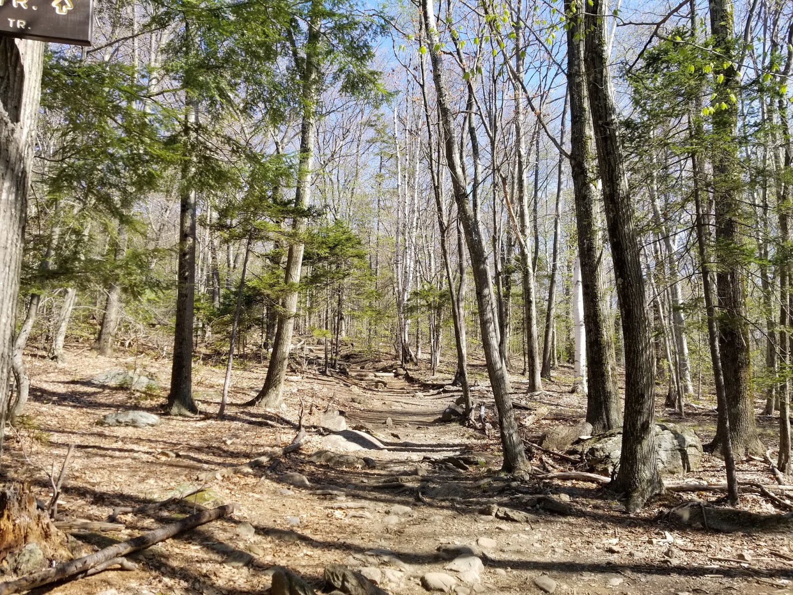
| The start of the trail, outside the visitor center |
The first 2/3 of a mile from the visitor center is pretty gradual and by far the easiest part of the trail. Blazes (a white dot roughly 2 inches in diameter) are pretty infrequent, but

 |
| Typical scene from lower part of trail |
The trail is rocky and there are several roots, typical of trails in Northern New England. At approximately 0.5 miles, the White Cross Trail splits off to the left. The White Dot Trail continues straight.
 |
| White Cross Trail junction |

The next ~0.15 mile is more of the same

Roughly 2/3 of a mile from the trailhead, the Cascade Link breaks off to the right.

And then the fun starts.
 |
| Here we go... |
The steepness begins with a rock staircase. Once we're at the top of that, it's time for the first real scramble.


The views begin partway up the first scramble.
 |
| Looking southeast from the scramble |


 |
| Did I really just climb up that? |
While the rocks may be slick at times, they are the official trail. Please help to fight erosion by staying on the rocks.

There's a short level section between the first and second large scrambles.
 |
| I'm a bit of a sucker for cool rock formations if you haven't figured that out yet |
Turns out that cool rock formation is our next scramble...
 |
| Yup, that's a blaze |
And up we go.

 |
| Looking back down |
The top of the second scramble marks the halfway point to the top in terms of distance (and close to it in terms of elevation). It levels off for a bit and we're back to a dirt trail.
 |
| Whoa, we're halfway there... |
A turn to the right (pay attention for blazes) leads us to the third scramble.


At the top of this scramble, the trees start to get thinner and the really spectacular views begin.

The trail levels off and continues across open rock. Various herd paths lead off to the sides, so make sure you follow the blazes and cairns.


Back into the woods for a bit, then time for another scramble.


As we get higher, the vegetation shifts to evergreens.


Then, we have our first extended exposed scramble of the day

Make sure you look back occasionally to enjoy the view.


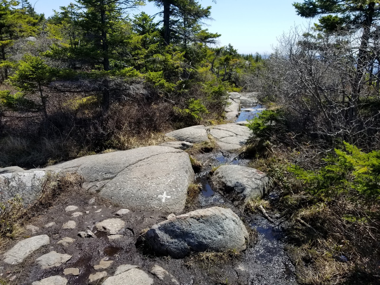
From here to the summit (about half a mile), it's pretty much all exposed rock.

The cairns are quite useful up here.

 |
| Follow the cairns! |
 |
| Hard turn to the right here |
A little over 1/4 mile to the summit, we reach the upper junction with the White Cross Trail. Turn RIGHT to continue climbing
 |
| Junction sign |
 |
| Markings on the rock show where the trails go. Uphill is through that hole in the vegetation |
There's a little bit of up and down, then the prize comes into clear view as we start the final ascent
 |
| Almost there! |

 |
| But that view |


 |
| Looking back at the arrows. Straight back is downhill, uphill to the left |


Soon enough, it's the last scramble before the summit
 |
| Last scramble! |
And then, there's no more left to climb.
 |
| Summit benchmark located 10 feet south of the highest point of rock |
Mount Monadnock, elevation 3,165 feet, is the highest point in Cheshire County, NH and one of the most isolated mountains in the United States. And the views show it.
 |
| Looking southwest |
 |
| Looking east |
 |
| Looking northeast |
 |
| Looking west from the summit |
 |
| Looking southeast |
 |
| Looking south. Wachusett Mountain is in the distance. |
 |
| Looking southeast toward park headquarters |
Having had my fill of the view, I took one last walk around the summit as I prepared to head down.
|
| Another look west toward the Green Mountains |
 |
| Hey! That's where I live! But I don't carve the rocks. |
 |
| Reference Mark #8. Didn't bother looking for the other 5 (reference markers 2 and 3 are unmarked drill holes) |
Several of the trails down are marked by large spray-painted destinations. The White Dot Trail (and its alternate, the White Cross Trail), are marked only by blazes and small lettering saying "TO STATE PARK".
 |
| See that dot and cross in the center? |
 |
| Down I go... |


Instead of retracing my steps down the White Dot Trail, I descended on the White Cross Trail, advertised as having a less steep descent. I generally agree with that description.
 |
| Sign at upper Dot-Cross junction |
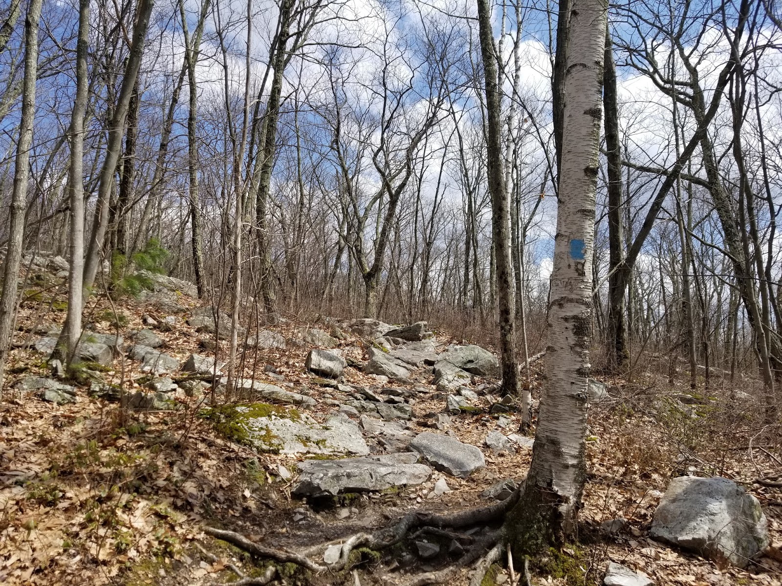
The White Cross trail is not as wide and simple to follow as the White Dot trail, but it is still generally easy. We immediately plunge down into a stand of trees.

 |
| A typical blaze |


Coming up the mountain, I was surprised at how dry the trails were. The White Cross Trail, on the other hand, was quite wet.


And the water got more frequent as I descended into thicker forest.


Though, I will say, it was not nearly as steep as the White Dot Trail. I didn't use my hands once I turned onto the White Cross Trail.


The descent may be a bit more gradual, but it's still the same general terrain. Views are a tad more obstructed, though.


As I got lower down the mountain, there were several places that had running water in the middle of the trail.


As I got closer to the bottom, the amount of trees increased and the trail became less rocky.


Soon enough, I was back at the White Dot Trail.
 |
| Near the end of the White Cross Trail |
The last half-mile back to the trailhead was a repeat of what I had coming in: gradual descent that didn't take too long.
 |
| Looking back up the White Cross trail |
Before I knew it, I was back down. Follow the signs back to the parking lot.

4 hours after arriving at the park, I was back at my car and ready to head out. Now off to Keene to get a large post-hike meal and
Getting Here
Monadnock State Park is located in Jaffrey, New Hampshire, roughly half an hour east of Keene, NH. The park headquarters and main trailhead are at the end of Poole Road, roughly 4 miles northwest of Jaffrey Village. The secondary Old Toll Road trailhead is located on NH Route 124 about 5 miles west of Jaffrey Village. Some services are available in Jaffrey, Rindge, and Peterborough. A full range of services, restaurants, and shopping is available in Keene (30 minutes) and Leominster, MA (45 minutes)
Admission Fee
Unlike most hikes I do, Monadnock State Park charges admission in order to pay staff and maintain the trails. The fees below are per-person and charged most of the year at the main trailheads.
Adults: $5
Children aged 6-12: $2
Children 5 and under: Free
Resources
Monadnock State Park: Official website
Monadnock Trails: Information on the various hiking trails up the mountain


