 |
| View from Huntersfield Mountain (All images mine) |
Huntersfield Mountain is one of the forgotten Catskill peaks. At 3,422 feet, it is a mere 78 feet short of being a Catskill High Peak and it lies a couple miles north of Catskill Park. That doesn't mean it is not worth visiting, though. The summit, the 42nd-highest peak in the Catskills, lies on the Greene/Schoharie county line and it is the highest point in Schoharie County, For relatively little effort, there are stunning views southeast toward Windham Mountain. A lean-to is at the top of the mountain if you wish to spend the night and the summit is marked by a USGS benchmark. New York has no county high point two-fers; Greene County has two dozen or so higher peaks. A few things I should note:
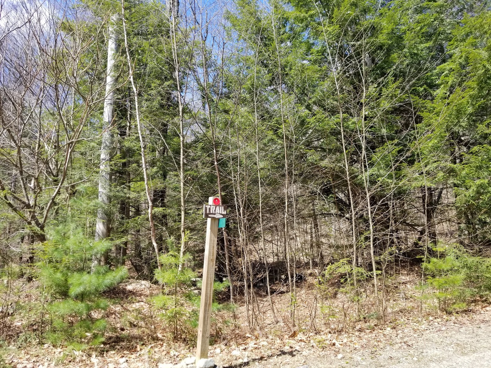
- This trail is generally unmarked. The main trail I follow in this guide is easy to follow. The trail is officially-designated and entirely within Huntersfield State Forest.
- While not too far from Albany, the area is remote and rarely visited. Don't count on seeing another person if you run into trouble. I had cell service for most, if not all, of the hike with Verizon, a rarity for hikes in New York's mountains.
- This is bear country. The northern Catskill Mountains have one of the highest black bear populations in the northeast. Given that this area is rarely visited, bears do roam. I did not see any bears while hiking this trail, but do be aware that you may encounter one (or signs of one). I would recommend bringing bear spray and something that makes noise. Bring a bear canister if you're spending the night at the lean-to. While not required, I wouldn't camp here without one.
Now that we have that stuff out of the way, it's hiking time. Do note that I took this hike shortly before I decided to start blogging, so pictures are minimal. I generally take at least 15 photos per mile of hike, with many hikes getting over 30/mile. I took 9 photos on this hike, total, and looking back at what I have, some of these are of poor quality. I generally wouldn't post a hike without a full slate of pictures, but there is very little information on this mountain and I was generally relying on information from a friend and a topographic map. I did this hike in November and there was snow near the summit. In most years, it is impossible to get to the quarry trailhead this late in the year due to snow, but the fall was unusually warm.
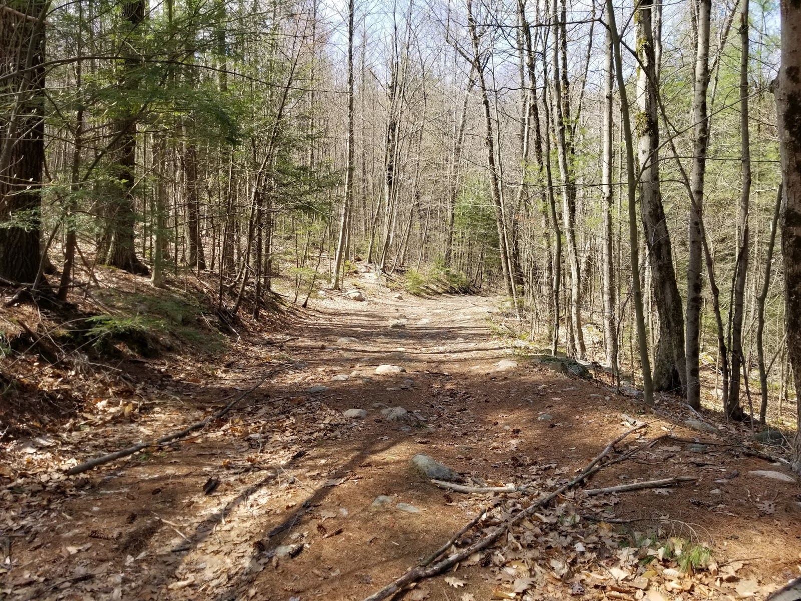
From the trailhead, an old woods road departs to the east. This road follows the ridgeline up the mountain. With only ~650 feet of ascent over the 1.4-mile trip up, it's generally a gradual and easy hike.
Near the summit, the trail starts to be blazed with the occasional yellow DEC blaze. A lean-to and scenic view are just off the trail to the right. If you want to reach the true summit (and I don't see why you wouldn't), continue past the lean-to. You'll be back in a couple minutes to rest and enjoy the view.
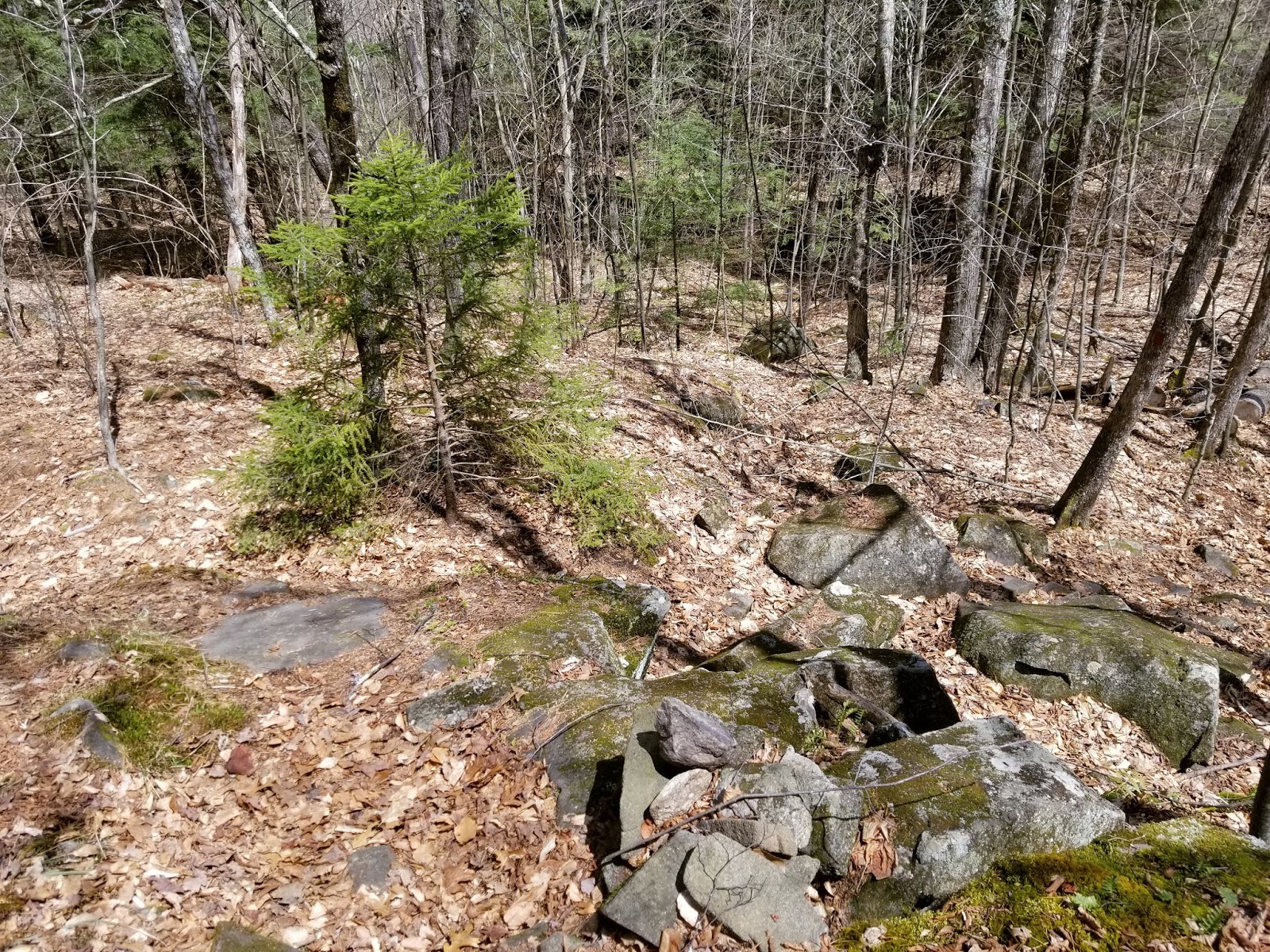
Past the lean-to, we intersect the former route of the Long Path. Turn LEFT here. Faint aqua blazes indicate that this was the Long Path in the past. Not even 1/10 mile north of the junction lies the summit benchmark in the middle of the trail. I can't confirm if the entire hike before this is in Greene County, but the lean-to definitely is. Step on the benchmark and you've visited the highest ground in Schoharie County, a peak that's also a liner (the county line generally follows the ridgeline).
From here, retrace your steps back to the lean-to and enjoy the view.
The lean-to has one of the best views in the Catskills, and since we're below 3,500 feet, you can camp here and have a fire if desired.
From the trailhead, an old woods road departs to the east. This road follows the ridgeline up the mountain. With only ~650 feet of ascent over the 1.4-mile trip up, it's generally a gradual and easy hike.
 |
| Most of the trail looks like this. I can't remember where this was, but given the snow, it was likely near the summit |
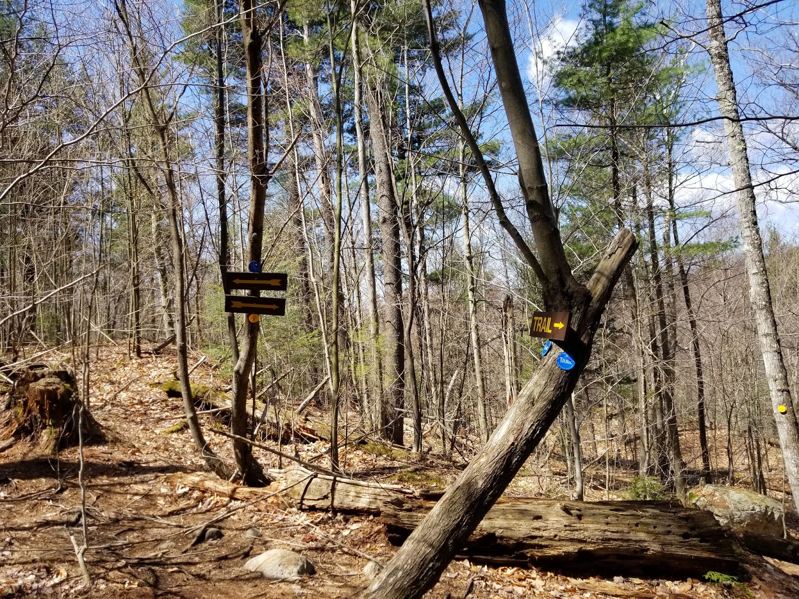
Near the summit, the trail starts to be blazed with the occasional yellow DEC blaze. A lean-to and scenic view are just off the trail to the right. If you want to reach the true summit (and I don't see why you wouldn't), continue past the lean-to. You'll be back in a couple minutes to rest and enjoy the view.
 |
| Trail in summit area |
Past the lean-to, we intersect the former route of the Long Path. Turn LEFT here. Faint aqua blazes indicate that this was the Long Path in the past. Not even 1/10 mile north of the junction lies the summit benchmark in the middle of the trail. I can't confirm if the entire hike before this is in Greene County, but the lean-to definitely is. Step on the benchmark and you've visited the highest ground in Schoharie County, a peak that's also a liner (the county line generally follows the ridgeline).
 |
| Summit benchmark |
From here, retrace your steps back to the lean-to and enjoy the view.
 |
| The lean-to |
The lean-to has one of the best views in the Catskills, and since we're below 3,500 feet, you can camp here and have a fire if desired.
 |
| Cave and Tower Mountains are clearly visible from the lean-to. I'd love to wake up to this view after sleeping up here. |
 |
| Summit fire pit |
Strangely, the area's only DEC trail register is at the lean-to itself. I was the only person not performing a DEC patrol to register for nearly a month.

Once you are done enjoying the amazing view, it's an easy hike back to the Quarry parking area. Honestly, the hardest part of getting down is ensuring your car makes it down safely. If you like hikes where you can be alone or relatively-easy hikes with great views, Huntersfield Mountain is the place for you.
How to get there
Huntersfield might be the highest peak in Schoharie County, but the only way there is through Greene County (unless, of course, you take a lengthy hike on the Long Path). There are two main places to park for the hike, depending on how comfortable you are taking your car up a minimum-maintenance dirt road:
Quarry Trailhead
This is where I started for the hike and it gets you up on the ridge. Total round trip ascent is approximately 650 feet, round trip distance is 2.8 miles if you visit the summit benchmark. Jim Cleveland Road and Huntersfield Road south of the snowplow turnaround are unpaved, unmaintained, and not in good shape. I did get my Honda Fit up and down, but I'd recommend going very slowly if you park up top. Parking is at the abandoned quarry at the top (east side of road), you can come in from either side.
Huntersfield Road Trailhead
This keeps you on maintained, paved roads, but there's double the ascent and double the distance, as half of the hike is just getting to the quarry. Simply hike up the road to the quarry, follow guide above. There is supposedly another trail branching off the road between the parking area and the quarry that connects with the Long Path northwest of Huntersfield and can be completed as a loop, but I cannot confirm. Parking is roughly 200 feet after the snowplow turnaround.
Nearby Short Hikes and Attractions
As the hike is short and far from civilization, I'd strongly recommend combining it with a visit to one of several nearby attractions:
- Pratt Rocks (see this write-up at Unlocking New York, run by a friend of mine)
- Mine Kill State Park
- Blenheim-Gilboa Power Project Visitors Center and Lansing Manor
- Several hikes in the northern Catskills, including Bearpen Mountain (Delaware County's high point) and Otsego County's high point
Resources
Catskill Mountaineer: Huntersfield Mountain: Has more trail information and pictures. This hike starts at the Huntersfield Road trailhead.
Huntersfield State Forest: NYSDEC website for area, contains topographic map and information
Huntersfield State Forest: NYSDEC website for area, contains topographic map and information


