 |
| Rensselaerville Falls, the star of the Huyck Preserve |
As a blog called "The Albany Hiker", I figured I should actually blog about something in Albany County. What better place to start than one of the Capital District's gems? Rensselaerville's E.N. Huyck Preserve, in the extreme southwestern corner of Albany County, is practically in the Catskills. In fact, the creek running through it, Tenmile Creek, is one of the major tributaries of Catskill Creek. At the southeastern corner of the preserve lies Rensselaerville Falls, one of the nicest waterfalls in New York. Most visitors to the preserve hike the half-mile (if that) to the falls and no further. I will admit, my first visit to the preserve was on the way home from elsewhere and I only went to the falls. Yet, this place is so much more than a waterfall and I decided to take a little hike around Myosotis Lake, just upstream from the waterfall.
 |
Southern portion of Huyck Preserve
Source: https://www.huyckpreserve.org/trail-map--rules.html |
For the day's hike, I figured I'd park at the main Visitor Center trailhead and head up past the falls along the east side of the lake. I took the short road walk at the north end of the Lake Trail East over to the west side and returned back to the car. This loop, involving a detour to the lower falls overlook, is roughly 3.75 miles. Most of the elevation change is between the parking lot and the upper falls overlook.
I arrived at 1 PM, strapped on my hiking sneakers, and set on the trail. Was very little snow, so the snowshoes stayed in the car (and this was a good idea, as they would have been useless). A sign at the trailhead warned of ice on the trails.
 |
| The trailhead |
 |
| The trail |
 |
| Trail markers, old and new |
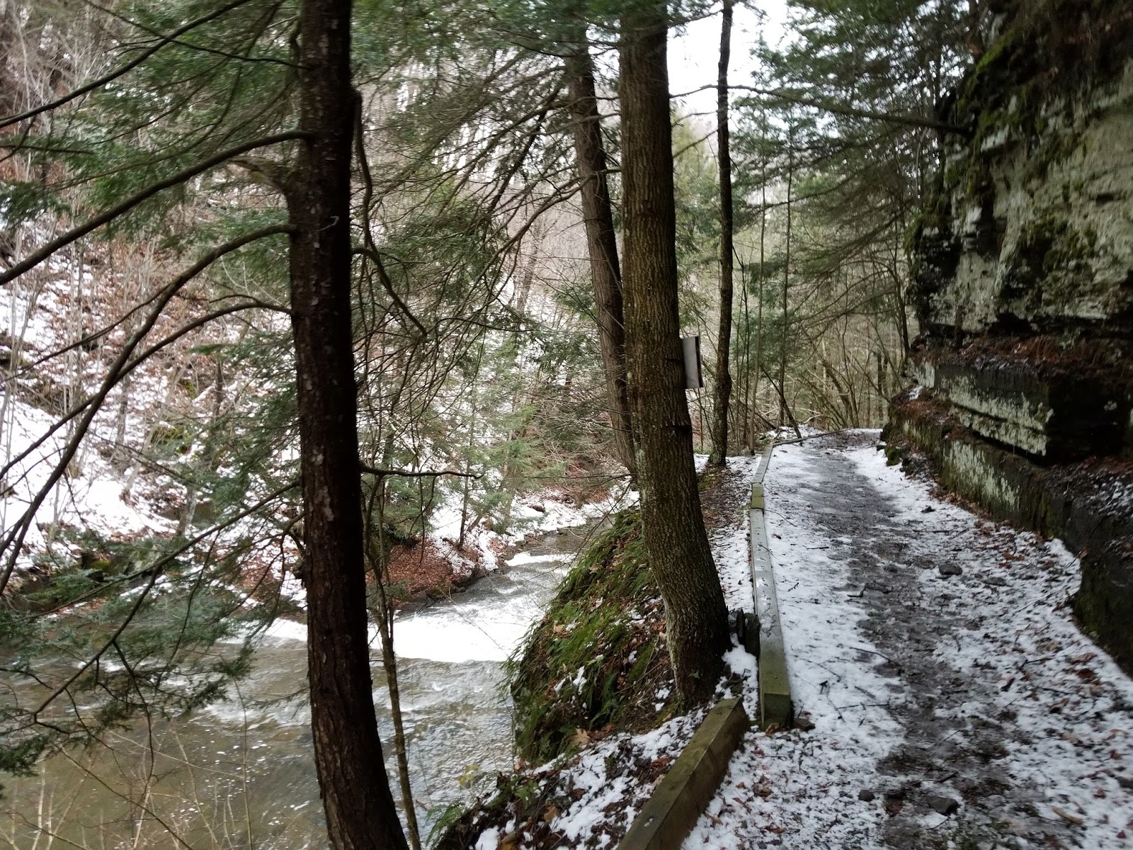
The trail hugs the north bank of Tenmile Creek for a short distance, then crosses over to the south bank a little downstream of Rensselaerville Falls.
 |
| Bridge over Tenmile Creek |
 |
| Looking upstream toward the falls |
Immediately after the bridge, ruins are located next to the trail. These are the ruins of the E.N. Huyck felt mill, which used Tenmile Creek for power.
 |
| Felt mill ruins |
After the ruins, there is a junction. To the right is a spur trail to an overlook of the main cascade (I'll come back here later). A sharp left has a trail along the south side of the creek. Slight left heads up the south side of the gorge to the rest of the trail network. Uphill we go, and it was icy. Nothing poles couldn't handle, though.
 |
| Heading uphill |
Near the top of the hill, there is a junction leading to secondary parking. Continue going straight until the trail makes a sharp (signed) turn to the right.
 |
| Sign at turn |
The trail from here to the next junction is relatively flat.
 |
| This is generally what the preserve trails look like. Peaceful woodlands. |
 |
| I see what they meant by "ice" |
After a short ways, we hit the next junction. Straight leads up the west side of the lake. Right leads to the Upper Falls overlook and the east side.
 |
| Junction sign |
 |
| Looking down falls trail |
The falls trail heads down a series of steps to a narrow wooden bridge located immediately above the Upper Falls.
As I said, this bridge is just upstream of the falls.
 |
| View from the bridge into the gorge |
There's an overlook just past the bridge that provides a close-up view of the Upper Falls.
 |
| The bridge we just crossed |
 |
| Looking down into the icy gorge |
 |
| Plaque at the Waldron Overlook |
Most visitors to the preserve turn around here. I'd recommend continuing on to the wilder areas of the preserve.
 |
| Small weir above the waterfall |
 |
| Looking back at the overlook |
 |
| The path continues on |
 |
| Loooooong drop into the gorge on the right |
A little ways up, we reach a sharp turn to the left. Continuing straight here takes you onto private property, so I'd suggest turning left.


We continue uphill. There's a couple of plots set aside for deer-related research on the right.
[-]
A bunch of stone walls from the old patroonship of Rensselaerswyck are up ahead. I love these old walls, which are found nearly everywhere in rural parts of the Hudson Valley.
Soon, we reach the Myosotis Lake dam and begin a flat section along the east shore.
Bunch of ice fishers were out on the lake while I was hiking. May have been around 40 degrees, but the ice was still sufficiently thick.
Continue on and there's a picnic area and private beach along the lake.
 |
| Picnic area and beach |
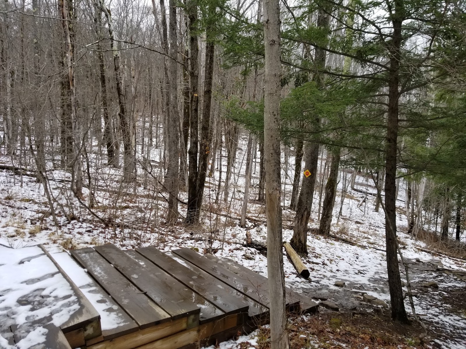
Past the beach and there are some boardwalks and [-]
 |
| Continuing northwest... |
 |
| It's wet. Very wet. |
 |
| Bit of a stream along this boardwalk |
Eventually, the lake ends and the trail runs along the northeast side of Tenmile Creek.
 |
| Trail junction near the northwest end of the Lake Trail East |
All good things must come to an end eventually and so does this trail. I reached a little-used road and turned left to head across the creek.
 |
| Signs at road |
 |
| The road walk |
Immediately past the creek is the trailhead on the right.
Almost immediately, there's a bridge over a small stream. The bridge has an improvised musical instrument, too!
 |
| The instrument, with flip-flops to use as mallets |
Once you're done making music, continue down the trail.
The west side is wilder and less flat than the east side and I was the first person to hit the trail since the last snowfall
In fact, there were places where the trail wasn't easy to follow.
 |
| If it wasn't for that marker, wouldn't know it's a trail |
I needed to ford a few streams. Was a tad tricky at times with the large amount of water.
There's an old shack along the lake as we near the dam
 |
| Abandoned shack |
 |
| It may look like the trail turns, but it doesn't. |
The trail curves to follow a stream, then crosses it.
 |
| Bridge over stream |

 |
| Quite a few old trail markers poking around |
Soon, we hit the junction with the Lake Trail East and the Falls Trail. Home stretch.
I said I'd get back to the fall spur trail along the creek, and along that trail I went to get a good look at the falls. Short trail and we soon reach the lower falls overlook.
 |
| The main cascade |
When you're ready, turn around and head back to the main trail.
 |
| Looking along the spur trail from the overlook |
Make a left at the main trail, head across the bridge, and you're soon at the parking lot. Not too far from Albany, but definitely a wild place and somewhere that is nice to visit at any time of year.
Getting Here
The Huyck Preserve is located in Rensselaerville at the west end of New York Route 85, roughly 40 minutes from Interstate 90 and 20 minutes from John Boyd Thacher State Park. Overflow parking is available at Hilltown Cafe.
Resources


